

Stop Managing Work Zones Without Ground Truth.
Nexar helps transportation agencies detect and map active work zones from real-world roadway observation and bring that intelligence into IBM watsonx
Orchestrate workflows.
Stop Flying Blind Between Inspections.
Every permit reflects an expectation about what should happen on the roadway.
But active work zones change quickly. Lane closures shift. Equipment moves. Signage changes. Setup conditions evolve throughout the life of a project.
Most agencies still rely on manual inspections, contractor self-reporting, fragmented systems, and citizen complaints to track what is happening. That leaves a visibility gap between what was approved and what appears to be happening on the road.
Limited real-time visibility into active work zones
Compliance monitoring that is slower and more reactive than it should be
Manual oversight that does not scale across a dynamic network
Delayed awareness of changing roadway conditions
More burden on field staff and operations teams
.avif)
Your Teams Can't Be Everywhere. Now They Don't Have To Be.
Work zones are dynamic. Traditional oversight models are not.
By the time an issue is identified through an inspection, report, or complaint, theoperational moment may already be gone.
.svg)
Field Inspections
Self-Reporting
.svg)
Complaints & Incident Reports
after the fact.

Know Your Roads as They Are, Not as They Were.
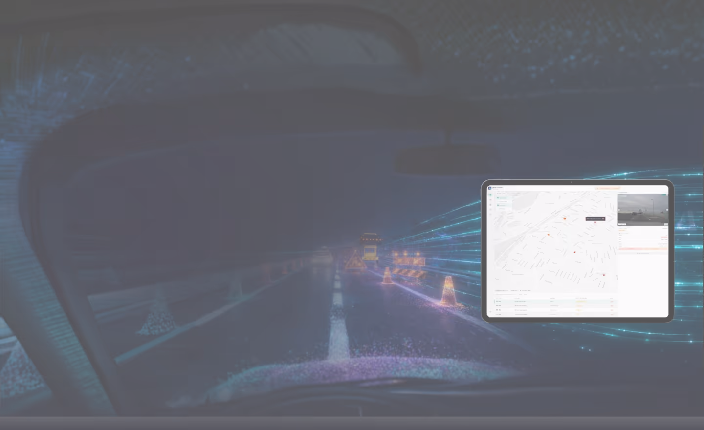
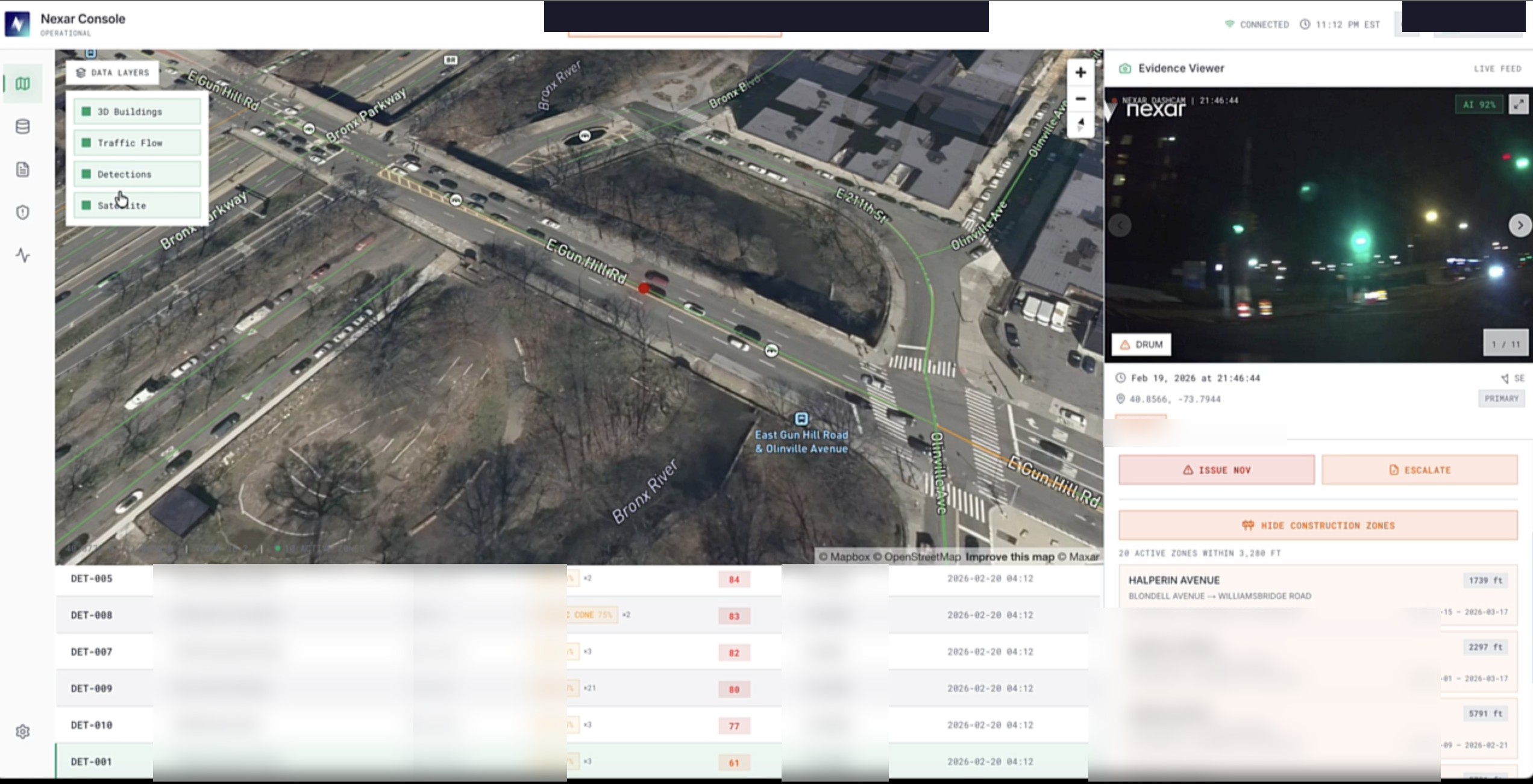
Nexar provides AI-powered road intelligence that detects work zone activity from alarge, continuously refreshed connected camera network covering the majority of U.S.roads.
Using machine learning models, Nexar identifies work zone elements such as cones,barriers, barricades, and signage, then maps them into structured, geolocated workzone records.
This is not just what was planned. It is visibility into what appears to be happening onthe road.
How It Works

Observe

Detect
Map
Bring into Workflow
.avif)
See Every Work Zone. Act on What Matters.
.svg)
Improve Visibility into Active Work Zones
.svg)
Surface Potential Permit Compliance Issues
.svg)
Reduce Blind Spots in Oversight
.svg)
Focus Manual Effort Where It Matters Most
.svg)
Support Operational Workflows
.avif)
Intelligence That Shows Up Where Your Team Already Works.
Detection alone is not enough. Operational teams need a way to review, route, and acton roadway intelligence efficiently.
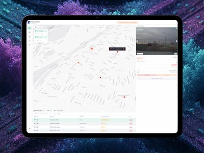
Available through IBM watsonx Orchestrate, Nexar’s work zone intelligence can bebrought into agency workflows to support faster, better-informed decisions.
Access road intelligence in a workflow environment
Reduce reliance on disconnected monitoring tools
Support more efficient review and response processes
Bring observed roadway signals closer to operational action
.avif)
Backed by the Largest Road Observation Network in the U.S.
Cameras
Coverage
Detected Daily
Refreshed
Weekly
Detected

Frequently Asked Questions
.avif)
Take Control of Every Mile You Manage.
Talk with Nexar about work zone intelligence for transportation agencies and how it can be brought into workflow through IBM watsonx Orchestrate.
.avif)