
Risk Index for AV and ADAS teams
See risk before you deploy
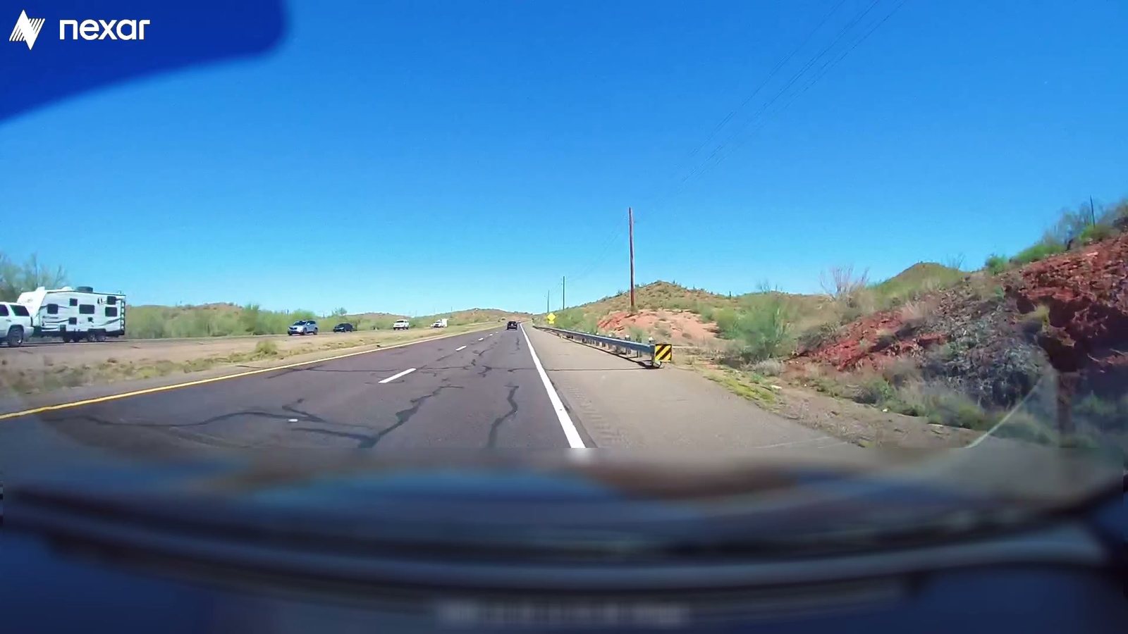
Use real-world road video and driving observations to assess a planned deployment area. Understand the risks, human driving behavior, and rare scenarios your vehicles may encounter, then decide where to test and which scenarios to add to training and testing.
Why us
Know where to test. Know what to train against.
Risk Index uses real-world driving data to show where risk is concentrated and which scenarios matter most.
Focus on the scenarios that pose the greatest risk
Movement data shows how a vehicle moved. Video shows what happened around it. BADAS, Nexar’s collision-anticipation model, uses this visual context to estimate risk and distinguish frequent events from those that pose greater danger.
Fill training and testing gaps before deployment
The Nexar and Nauto networks capture real-world conditions and events that AV and ADAS systems may rarely encounter. Footage and reconstructed scenarios from the planned deployment area help close those gaps.
See which deployment areas are risky, not just busy
More recorded events can reflect heavier traffic, not greater risk. Risk Index considers miles driven and event severity to show where dangerous events occur more often than traffic volume alone would suggest.

Next
Evaluate your next deployment area.
Tell us where you plan to operate and what your team needs to understand. We’ll review available coverage and discuss how Risk Index could support your deployment planning, training, and testing.