
Risk Index for transportation and safety teams
See road risk before
crash reports reveal a pattern
Use real-world driving observations to identify higher-risk intersections and corridors across your jurisdiction. Compare locations in the context of traffic, prioritize where to act, and track how conditions change after a safety intervention.

Why us
Know where to act. See what changes.
Risk Index uses real-world driving observations to help teams identify higher-risk locations, compare them in the context of traffic, and track conditions over time.
Find warning signs sooner
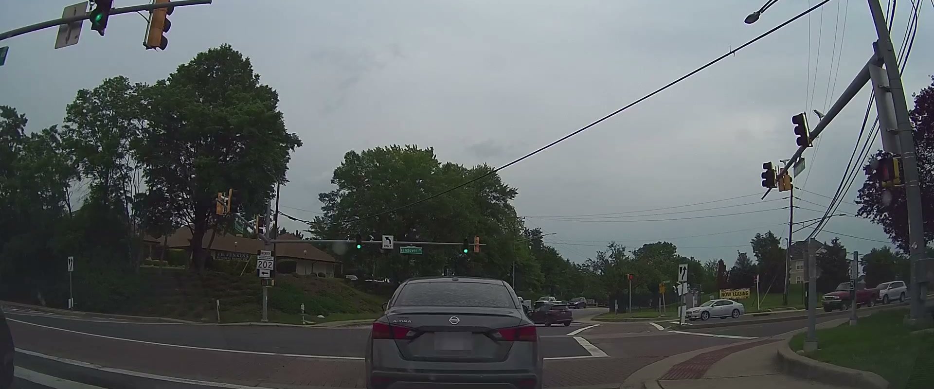
Crash reports and public complaints show where someone has already been affected. BADAS, Nexar’s collision-anticipation model, uses real-world road video to help identify where risk may be building before those sources reveal a pattern.
Prioritize risky locations, not just busy ones
More observed conflicts can reflect heavier traffic. Risk Index compares conflicts with the number of vehicles passing through a location to show where they occur more often relative to traffic.
Track how conditions change after an intervention
The Nexar network captures observations from vehicles already traveling local streets. Teams can compare conditions over time without first installing new roadside sensors or launching their own data-collection program.

Next
Understand road risk in your jurisdiction
Tell us which city, corridor, or road-safety question you want to evaluate. We’ll review available coverage and discuss how Risk Index could help you prioritize locations and track changes after a safety intervention.