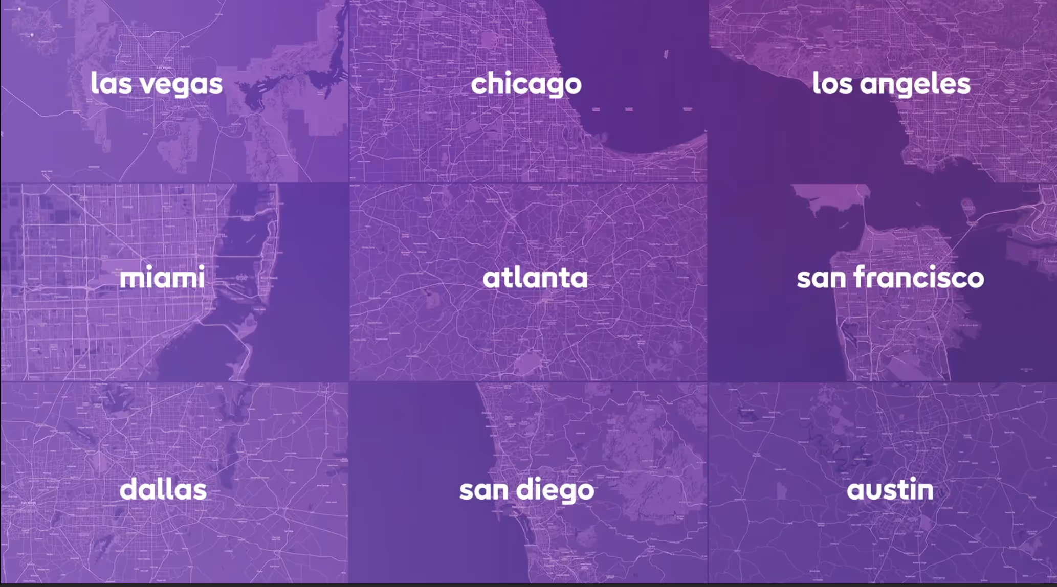
Nexar for mapping
Enhance, update and make better maps with fresh street images
Go through real world imagery and use AI identification and change detection - to make maps better.
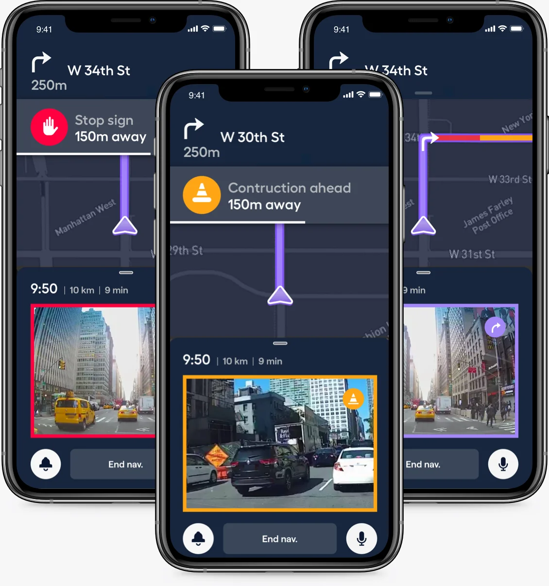
Update your basemaps for better navigation
Nexar continuously updates with new, high quality images throughout the year. Easily access street sign data and other navigation related data, and add them to your navigation experience with the confidence the data is accurate and up-to-date.
Using Nexar’s data, you can optimize routing through awareness of changes to signage, road blockages and changes to lanes and more.
Using Nexar’s data, you can optimize routing through awareness of changes to signage, road blockages and changes to lanes and more.
See why vision data is best for map updates
Imagery-based detection ensures all traffic signs are captured, “seeing” more than telemetry-based solutions and ensuring 100% detection. Imagery also allows you to see more than Stop signs, such as Speed Limit signs which can be valuable to your users’ navigation experience.
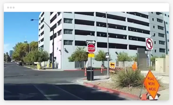
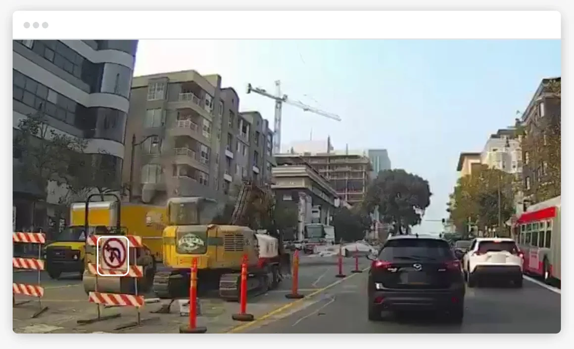
See everything for yourself
Using imagery, you can verify the existence of a sign or marking, simply by opening the image and inspecting it. You can save the images you’ve reviewed as a record to prove the veracity of the map.
Unique Visual Data
Dash cam users contribute data, images and video of the world
Fresh Data and Images
Frequent use ensures a constant stream of up to date vision
A Source of Competitive Advantage
Our unique data can be just what you need to stand out from the competition
Human Scale
We see the world just like humans do, not like a traffic camera
Move through time
Our constant vision stream lets you check what happened in the past
Respectful of users
Our data is always anonymized and compliant, so the source of an image, license plates, faces, etc. cannot be identified